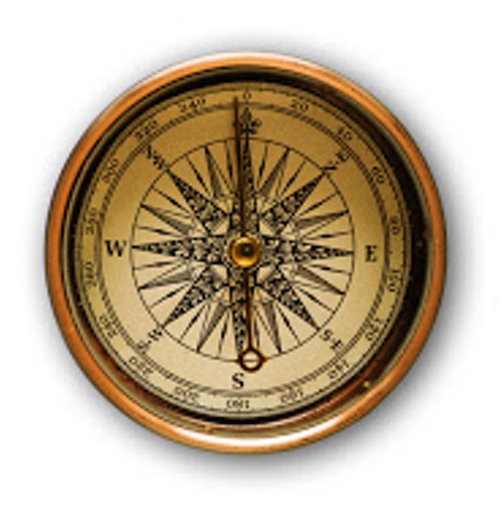
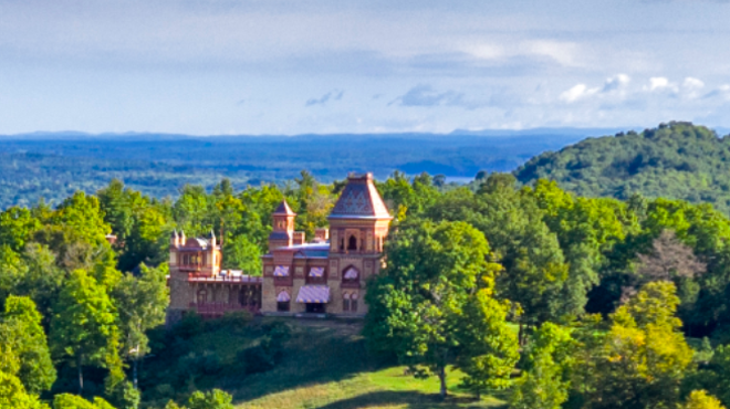
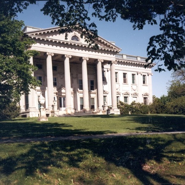
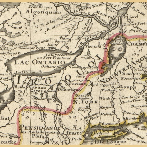
Do you ever wonder how people traveled in the 19th century without the luxury of Google Maps? We will learn how people traveled and navigated the seas by looking at the places where Frederic Church traveled to during his lifetime. Learn about 19th century travel and exploration with environmental educator, Fran Martino, as we look at historic maps and learn how to use compasses, maps, and GPS systems. Ages 5+.


Copyright ©2024 Chronogram Media. All Rights Reserved.
