At the trial, Pardini and Fink pointed out that Mohonk failed to explain why its claim to the 75 acres was missing many necessary adjoiners and that it listed others not called for by the deed record. One example involves land formerly owned by John I. Davis in the 19th century, now called the Davis parcel. The real King's Lane Lot—the 26-acre one owned by Finger—calls for Davis as its eastern adjoiner.
But Mohonk claimed that Davis was next to the 75 acres owned by Pardini and Fink, which it is not. To do this, they had to pretend that the adjoiners for the real King's Lane Lot would work simultaneously for that lot and for the 75 acres they were claiming. In other words, Mohonk claimed that the Davis parcel existed in two places at once.
In Van Valkenburgh's survey of the 75 acres that was used to make the purchase and secure title insurance, Van Valkenburgh accurately lists Pardini and Fink as the eastern adjoiner.
Then in court, Mohonk tried to claim that the John I. Davis parcel was the eastern adjoiner to the 75 acres, in effect attempting to kick Fink and Pardini off of even more of their land. Davis is nowhere to be found in Pardini and Fink's chain of title, for a good reason. The Davis parcel is located east of the real Kings Lane Lot, not the 75 acres that Mohonk was pretending was the King's Lane Lot.
That Van Valkenburgh originally listed Pardini and Fink as the eastern adjoiner to the 75 acres in the survey used for the purchase and title coverage proves he knew Davis was not located there and that he knew who the real owners of the 75 acres were. Doing a survey involves researching the ownership history of each adjoiner. But he had another reason to know the real history: He had been surveyor and expert witness in every prior lawsuit against Pardini and Fink.
At trial, Mohonk failed to present a witness who had actually done a survey of the property it was claiming. Notably, Van Valkenburgh was not called as a witness by Mohonk to tell the story of his survey, which is the usual practice. But he sat in court every day of the trial and assisted Mohonk. Had he been called as a witness, Pardini and Fink's lawyers would have asked him to explain how the Davis parcel got up and walked down the mountain.
Presented with these and other facts, Judge Cahill concluded that Finger never owned the land Mohonk had "purchased" from her, and ruled that Pardini and Fink hold both proper title and common law possession of their land.
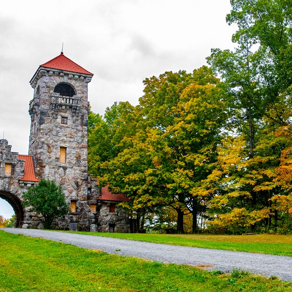
In late July, I went to Mohonk Preserve to interview its top leaders—Glenn Hoagland, the executive director, Ronald Knapp, the board president, and Gretchen Reed, the director of marketing and communications. They spent an hour and 20 minutes attempting to convince me that Michael Fink was trying to take their land from them. They also claimed that Pardini and Fink didn't believe they owned the 75 acres that the judge determined were part of the couple's own property.
None of the Preserve's officials would answer any of my questions about why the adjoiners to the land they were claiming did not match known reality on the ground, saying they didn't remember the details and didn't want to "re-litigate" the case in their conference room.
Mohonk recently said that its board of trustees had voted to appeal Cahill's ruling. In a July 5 letter to the Preserve's members and supporters, Hoagland and Knapp claimed that Mohonk still owns the 75 acres. They trivialized Judge Cahill's decision as being just three pages long when in fact it's 90 pages.
Hoagland and Knapp wrote, "The continuing litigation...underscores the importance of the Preserve's critical land protection work, which deals not only with acquisition of land and conservation easements but with the perpetual protection of lands in our care. With your continued support, we will remain steadfast in our 50-year heritage of saving the land for life."
Sure sounds good.